Description
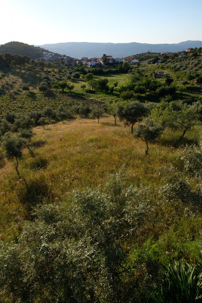
Located in the heart of the Gouveia mountain range, in the far southwest of the municipality, it encompasses parts of the municipalities of Gouveia, Sendim da Serra, and Cabreira. We set off from the village square in Gouveia—a name that may derive from “gouvir,” meaning “to enjoy” in the sense of feeling well—next to the ancient granite wayside cross, featuring a circular base, a cubic capital, and a simple Latin cross. We continue along a dirt path that leads us to the ridge of the Serra, through cork oaks, rockroses, and broom.
We reach the highest point of this route: the Gouveia Geodetic Marker, at an altitude of 653 meters, offering a unique and majestic view! Here we find traces of a fortified settlement, with part of a wall visible that was built using a different technique than the other settlements of this type in the municipality. We walk toward Sendim da Serra, a village where you can visit the old elementary school, which has been converted into a rural guesthouse. After recharging our energy and strength, we continue on to the rural village of Cabreira, visiting the Fonte da Saúde; the elders say it was given this name because, long ago, a very sick old man who did not belong to the village would go there to fetch water for drinking and cooking, as, according to him, it restored his health.
Finally, we head back to the starting point of our route. Take our suggestion and end this route with a well-deserved rest at another old elementary school in Gouveia, also converted into lodging.