O Trilho Pertinho do Céu é um
percurso pedestre sinalizado denominado de Pequena Rota (PR). Este
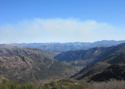
percurso realiza- se nas faldas da Serra da Peneda, no Concelho de Arcos
de Valdevez na freguesia serrana da Gavieira. A cerca de 700 metros do
cruzamento para o lugar da igreja da Gavieira, mesmo junto à estrada que
une Rouças a S. Bento do Cando, abre-se à nossa esquerda um velho
caminho lajes sinalizado por uma placa que indica o inicio do percurso.
Pondo
pés ao caminho vamos calcorreando as largas lajes marcadas pelos rodados
dos carros de bois; trata-se pois de um carreteiro, o qual nos
conduzirá, por entre o belo carvalhal à Branda de Burgalinhas. À medida
que vamos subindo deparamo-nos com exemplares de gado bovino das raças
autóctones Barrosã e Cacnhena, que durante o dia apascentam para ao
final da tarde, regressarem às suas cortes. Pouco antes de chegarmos à
Branda, podemos observar os campos cultivados com centeio, rodeados por
muros de pedra solta e no meio de caos granítico surge por entre a
penedia a Branda de Busgalinhas. Trata-se de um pequeno povoado que se
encontra apenas ocupado durante o Verão para o apoio à atividade
pastoril. Depois de visitada a Branda a qual pertence à população do
lugar da Igreja da Gavieira, seguimos por um estradão em terra batida em
direção à Branda de S. Bento do Cando, também propriedade das
populações da Gavieira. Trata-se de um povoado bastante conhecido pelas
romarias de adoração à imagem de S. Bento. Desde aqui descemos em
direcção ao Rio Grande por um trilho de pastores. Nesta descida devemos
ter o máximo cuidado, prestando atenção às marcações, pois o caminho não
se encontra bem definido. Depois de passarmos uma rústica construção
que serve para arrecadar as alfaias agrícolas e o gado, atravessamos um
ribeiro por um trilho que se abre na densa vegetação, sendo a única
passagem possível para seguirmos caminho em direção à Gavieira.
Continuamos caminho, seguindo o rio à nossa esquerda que vai moldando a
paisagem e criando belas cascatas e poças convidativas nos refrescarmos.
Pouco depois desembocamos numa estrada alcatroada que nos levará a
visitar o típico lugar da Igreja, para depois subirmos por um caminho
coberto de cimento que nos conduzirá ao lugar onde teve início este belo
percurso.